Stratigraphy
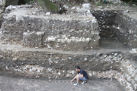
 Stratigraphy above the Basilica floor
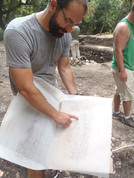
 Andrew Manson produces a section and elevation drawing of Unit 17
The stratification of the lower city serves as the primary record to examine historical urbanism at Butrint.
The Roman Forum Excavations Project has been the first at Butrint to implement a single-context-planning recording system, in which every excavated layer is planned to scale and every small find mapped. It is a rigorous recording method, producing hundreds of scaled drawings each season. The project's archive now includes almost one thousand technical drawings of plans, sections, and elevations and records for over two thousand excavated deposits.
With this single-context recording system, used in combination with the Total Station, the RFE Project recorded to scale and in real-world coordinates all excavated deposits, masonry structures, interfaces, and small finds. The integration of all drawings and data through GIS provides a visual platform to create a three-dimensional model of the excavated trench.
